
Categories
All About TexasPublished January 26, 2026
Central Texas Weather Today — A Deep Freeze After the Winter Storm

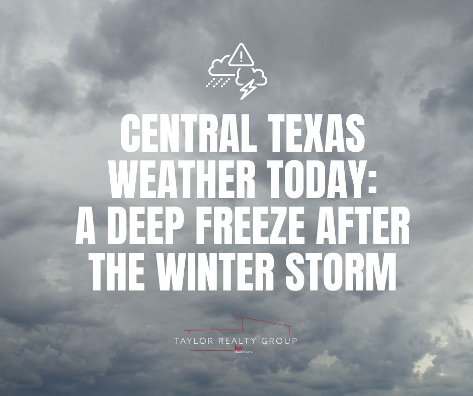
❄️ Central Texas Weather Today — A Deep Freeze After the Winter Storm
Central Texas is waking up today with lingering bitter cold and icy conditions following a powerful winter storm that swept through the region over the weekend. While the worst of the precipitation has passed, the frigid temperatures, hazardous travel conditions, and ongoing cold warning are dominating the weather story for Monday.
🌡️ Morning Conditions & Ongoing Hazards
After a weekend of sleet, freezing rain, and ice, Central Texas remains gripped by sub-freezing temperatures. Parts of the Austin area set record low temperatures overnight, with readings dipping well into the teens and wind chills feeling like the single digits in some areas.
As of this morning:
- Ice still covers many roadways and bridges, making travel treacherous despite sunshine.
- Extreme Cold Warnings remain in effect through at least Tuesday morning, according to the National Weather Service.
- Neighborhood roads, elevated highways, and shaded areas are especially prone to black ice.
Officials and transportation crews are urging residents to limit travel if possible, as refreezing — even of daytime melt — can occur after sundown.
🧊 How This Happened
Over the weekend, an Arctic cold front pushed unusually cold air deep into Central Texas, interacting with moisture to produce sleet, freezing rain, and patchy snow in higher elevations. The result was a widespread ice-cover event, particularly in the Austin metro and the Hill Country.
The National Weather Service and local emergency operations centers were activated early, and extreme cold and winter storm warnings were issued ahead of the event.
📅 Forecast — What to Expect This Week
While the precipitation has ended, the cold will stick around before a gradual warm-up later in the week. Here’s an overview of what’s expected across Central Texas:
💧 Monday, Jan. 26
- Temperatures: Mostly below freezing through much of the day; highs may struggle above 32°F (0°C).
- Sky Conditions: Mostly sunny skies help a bit with daytime thaw, but lasting ice will persist on many surfaces.
- Hazards: Black ice risk persists, especially on bridges and untreated roads.
🌤️ Tuesday, Jan. 27
- Warm-up begins: Highs forecast near the mid-40s°F (about 7°C) with sunnier skies.
- Overnight lows: Still cold, but not as extreme as Monday night.
- Hazards: Refreezing potential early; drive with caution.
☀️ Wednesday – Thursday
- Temperatures rise further: Highs may reach the upper 40s to low 50s°F by Thursday, bringing more typical late-January conditions.
- Weather: Mostly sunny to partly cloudy with no major precipitation expected yet.
❗Safety Tips for Central Texans
Even as the worst weather has passed, cold hazards remain serious:
- Dress in layers: Coat, hat, gloves, and warm footwear are essential if you head outside.
- Avoid unnecessary travel: Snow and ice patches can hide black ice.
- Protect pets, plants, and water pipes: Hard freezes can cause burst pipes and frostbite.
- Monitor local alerts: Conditions can change quickly overnight.
📌 In Summary
Central Texas is in the early part of its recovery from a significant winter storm. While major precipitation has moved out of the region, dangerously cold temperatures and slick surfaces persist into Monday and likely through Tuesday morning. Expect gradual warming later this week, though temperatures will still be below seasonal norms before climbing into the 50s by Thursday.
Stay warm, stay safe, and check the latest local weather or emergency alerts before heading out — especially if you need to travel during the early morning or after sunset.
|


or another way